AVLOKIX Logo

From Flight to Fact.

Managing your spatial data should be as seamless as flying the mission. Avlokix bridges raw field captures and actionable intelligence — stream, organize, and share your survey data from anywhere.

Two products. One ecosystem.

Stream massive 3D data instantly. Manage every asset from a single command center.

Avlokix View

See everything. Store nothing.

A lightning-fast, browser-based 3D visualization engine. Send a link — your client is instantly flying through the survey. No downloads, no plugins, no local storage consumed.

Instant Link StreamingZero Footprint3D Globe Context
Avlokix Atlas

The cloud platform. One place.

Your all-in-one command center. Drag in meshes, point clouds, flight logs, and calibration files. Tag everything with rich metadata. Scale to thousands of surveys.

Single Source of TruthRich Meta-TaggingBuilt to Scale
Avlokix View

Your survey, delivered as a link.

Forget downloading 2 GB mesh files to your local machine. With Avlokix View, your client opens a single URL and instantly navigates a high-fidelity 3D reconstruction of the site — on their phone, tablet, or laptop. Zero friction. Zero footprint.

  • Rotate, pan, and zoom through massive point clouds
  • Measure distances and areas directly in-browser
  • Pin every survey to its real-world coordinates on a 3D globe
quarry_scan_2024.glb — Avlokix View
ROT: 0°ZOOM: 1.0xVERTS: 1.2M
Avlokix Atlas
SYNCEDproject: quarry-east-survey
Project Files
Survey Metadata
ProjectQuarry East Survey
Flight Date 2024-11-14
UAV Model DJI Matrice 350 RTK
Coordinates26.9124° N, 75.7873° E
Access Team Only
Avlokix Atlas

Every site. Every survey. One place.

Atlas is where your raw captures become organized, searchable, and publishable assets. Drag in .laz, .tiff, .glb, flight logs, and calibration data. Tag everything. Find anything.

  • Drag-and-drop any file type — models, logs, imagery
  • Tag by project, date, UAV model, and site coordinates
  • Full tile-based 3D viewer built directly into the dashboard

No Lag. No Limits.

Built for the heaviest data.

0 MBLocal Storage RequiredPure browser streaming
<1sFirst 3D FrameInstant link rendering
60fpsPoint-Cloud PanningGPU-accelerated WebGL
File ScaleNo upload size limits

Why Avlokix

Built for survey professionals.

Share via Link

Generate a shareable URL for any 3D survey. Your stakeholders view it instantly — no accounts, no installs.

Precision Geolocation

Every survey is pinned to its real-world WGS84 coordinates. Browse sites on an interactive 3D globe.

Open & Free Tier

Browse the entire public collection without signing up. No paywalls, no limits on viewing.

Browser-Native 3D

No software to install. View dense meshes and terrain tiles directly in any modern browser via WebGL.

Any File Format

Upload .glb, .laz, .tiff, .csv, and any supporting files. Atlas organizes them into structured projects.

Team Access Controls

Set granular permissions — public, team-only, or private. Full audit trail on every asset.

Pricing

Pay for storage, not for features.

Every plan ships the full viewer, the full toolset, and unlimited viewers. Plans differ only in how many gigabytes of original model files you can hold.

Free

Freeforever
Model file storage
2.0 GB

Everything you need to publish your first surveys.

  • Unlimited projects and viewers
  • Layers, versions, and comparison views
  • Annotations, measurements, and reports
  • Public and private sharing links

Standard

Popular
TBDpricing to be announced
Model file storage
10.0 GB

For teams flying regularly and archiving every pass.

  • Everything in Free
  • 5x the model-file storage
  • Room for repeat surveys of the same site
  • Priority tile processing

Premium

TBDpricing to be announced
Model file storage
Unlimited

For organisations with an entire survey archive to host.

  • Everything in Standard
  • No cap on uploaded model files
  • Unlimited contributors per organisation
  • Dedicated support

Only original model files — the OBJ, MTL, and texture files you upload — count towards your limit. The tiles Avlokix generates from them are not charged. Paid plans are billed through Razorpay and can be cancelled at any time from your billing page.

From flight to fact.

Your drone just landed. Your data is ready to stream. Start managing, visualizing, and sharing your survey intelligence — free.
Explore View
Field Captures
09 panoramas
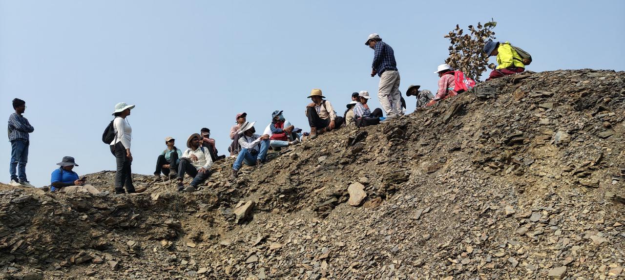
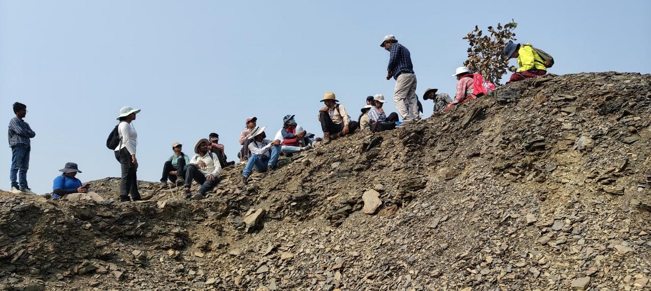
A field team spread along the crest of a steeply dipping shale outcrop
Outcrop Traverse01
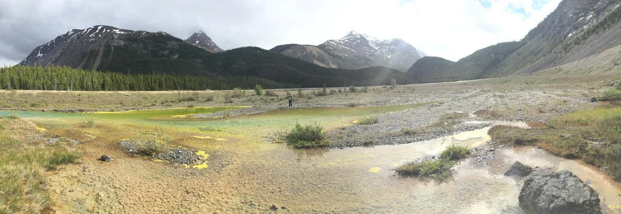
Braided outwash flats and shallow pools below a glaciated mountain valley
Glacial Outwash02
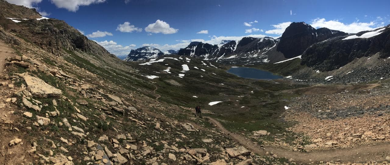
A trail descending toward an alpine cirque lake ringed by snow-streaked peaks
Cirque Basin03
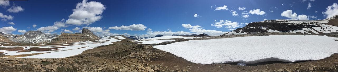
A high plateau snowfield under deep blue sky with flat-topped peaks beyond
Plateau Snowfield04
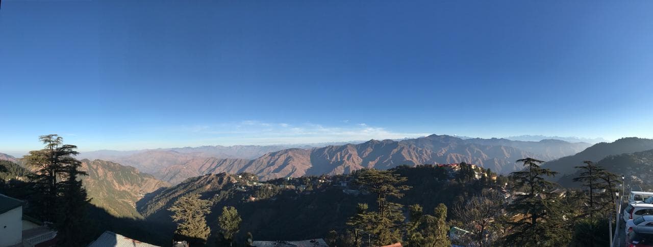
Ridge-top settlement and cedar trees overlooking layered Himalayan foothills
Foothill Ridge05
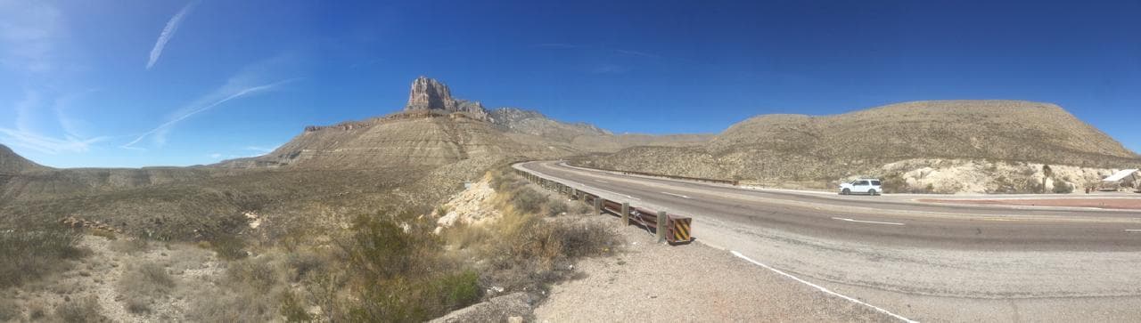
A highway curving past a stepped carbonate escarpment in arid country
Escarpment Route06
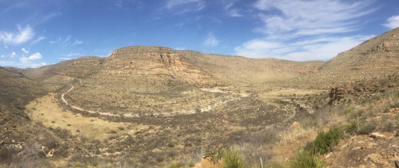
Limestone benches above a dry grassland canyon floor
Canyon Bench07
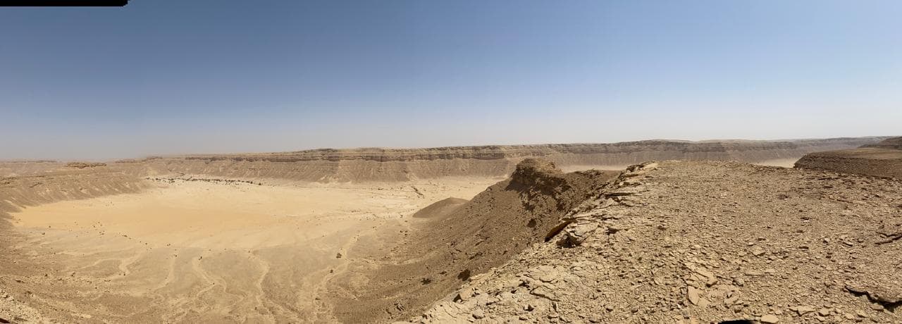
An eroded desert escarpment enclosing a broad sand-floored basin
Desert Rim08
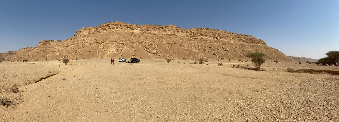
Field vehicles parked on a gravel plain below a flat-topped desert butte
Butte Camp09